


Sharing Ideas and Crossing Bridges
Tacoma, Washington: Site of a social studies conference and a once-collapased bridge
A book to read: Galloping Gertie: The True Story of the Tacoma Narrows Bridge
This picture book by Amanda Abler, illustrated by Levi Hastings, tells the story of how the Tacoma Narrows Bridge opened in 1940, connecting Tacoma (and cities north of Tacoma, including Seattle) to the Kitsap Peninsula.
In the book, young Dale watches the building of the bridge and then walks across it for the first time.
But was it normal for such a mammoth bridge to bob and bounce, even on a calm evening such as this?
Um…no. The bridge was meant to be flexible. The bridge’s nickname was Galloping Gertie due to the way that driving on the bridge could be compared to riding a roller coaster on a windy day. However, it was a little too flexible.
Winds of 40 mph proved too much for the suspension bridge. The bridge started swinging back and forth and the tollbooth man shut down the bridge. Those in the cars abandoned their vehicles and crawled to safety. Pretty soon the concrete snapped and the whole thing collapsed.
Dale and his friends watched from their house overlooking the water.
Then, the book zooms forward a decade, as Dale and his Boy Scout Troop marched across the new bridge. New nickname: Sturdy Gertie.
It’s a nice little picture book, so long as you or your child won’t be traumatized by the fact that the only death resulting from the bridge collapse was Tubby the dog.
For picture books about non-collapsing suspension bridges, here is my post on the lady who secretly designed the Brooklyn Bridge when her engineer husband fell ill.
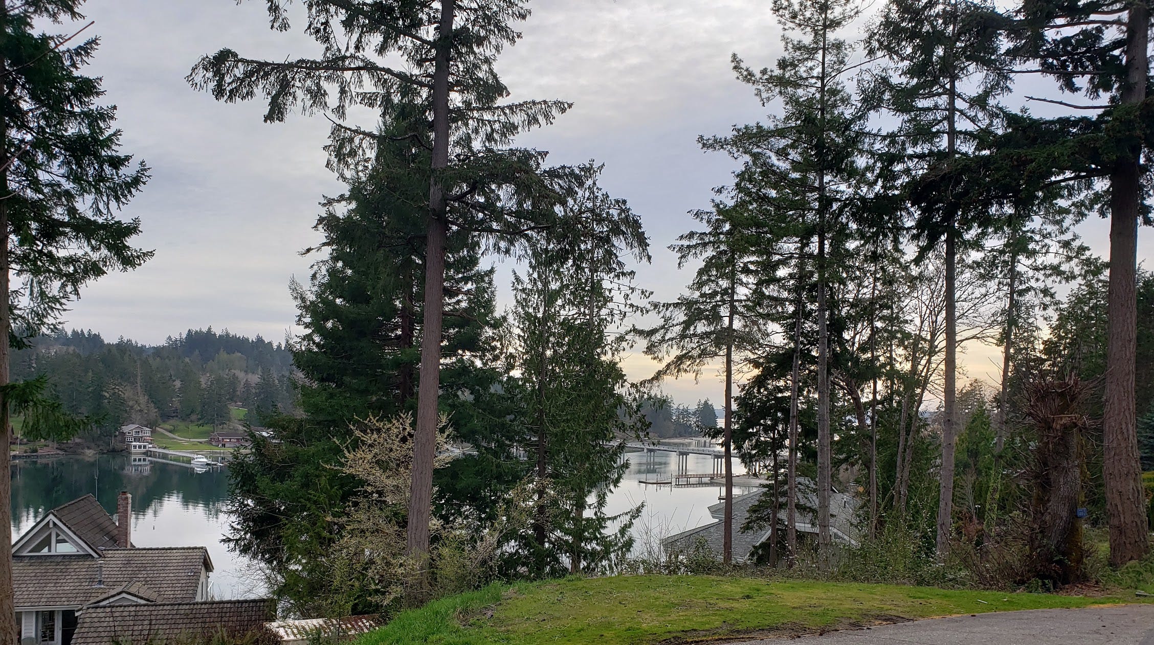
A place to explore: Raft Island
My favorite place to visit on the Kitsap Peninsula, just over the non-collapsed Tacoma Narrows Bridge, is Raft Island.
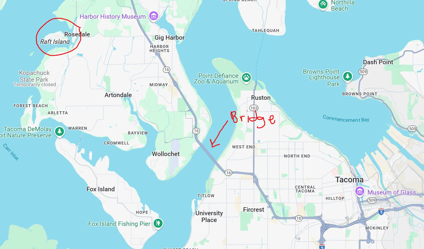
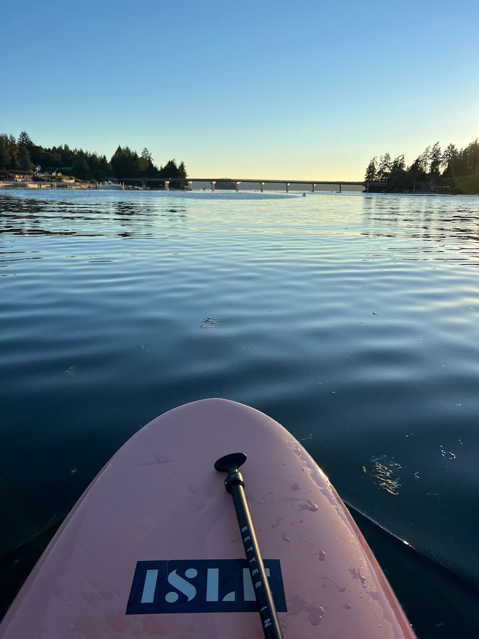
There is a little bridge from the peninsula to Raft Island. Here it is from my paddleboard.
Raft Island is a teeny little island featuring exactly zero amenities. There are no stores or restaurants, just houses. I’ve been back to the same AirBnB a few times with my family. It’s just a nice quiet getaway to enjoy walks around the island and beach time.
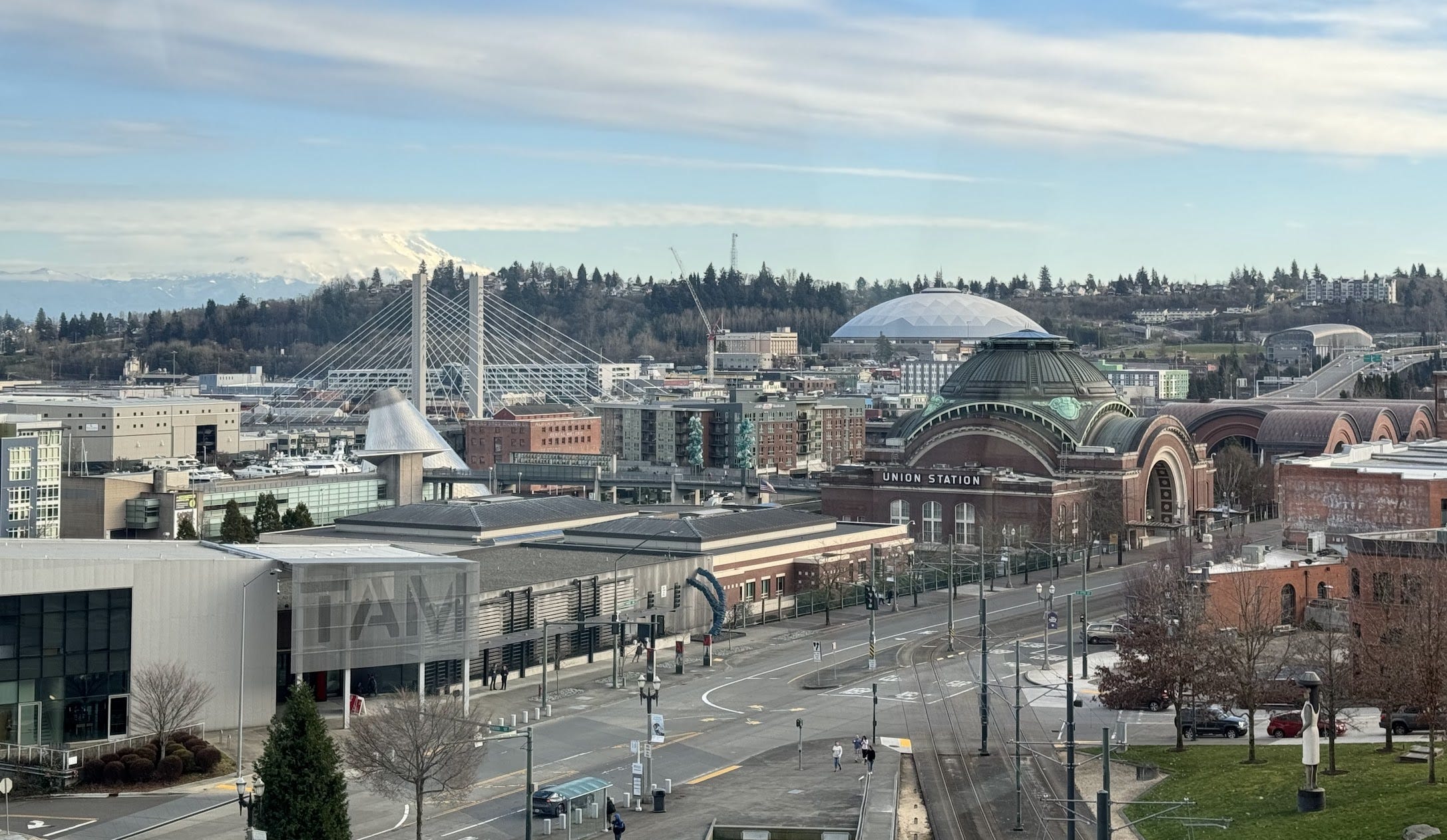
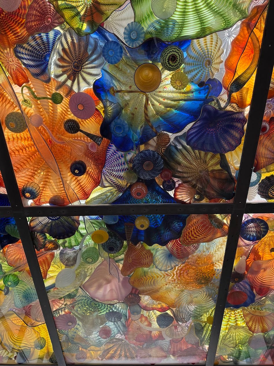
We usually couple a Raft Island day with some Tacoma time, visiting Dale Chihuhly’s glass bridge, the Tacoma Art Museum, or the Washington State History Museum.
A lesson to teach: Ideas from the Washington State Social Studies Conference
Last weekend I was in Tacoma for the Washington State Social Studies Conference. The annual conference has gone from a weekend in the mountains (remember last year’s weekend?) to just a day-long conference, which is a little sad. As school districts ran out of money to send their teachers away for some deep professional learning, conferences have shrunk :(
However, the conference was still great. I enjoyed every single session I went to, and I walked away with lots of inspiration and ideas. Here is a recap:
Branda from Seattle’s Holocaust Center for Humanity had us think about and critique the UN’s definition of genocide. We discussed how the definition was created in the context of the Holocaust and because of this, it’s hard to “prove” a genocide is a genocide if it doesn’t look exactly like the Holocaust. Branda also provided UN’s drafts of genocide definitions and guiding questions to help students think about the various iterations of the definition. She also introduced us to James Waller’s work on identifying “Risk Factors for a Genocide. The lessons are here. See the Center’s Lesson Plans and Best Practices page for tons and tons of ready-to-teach resources.
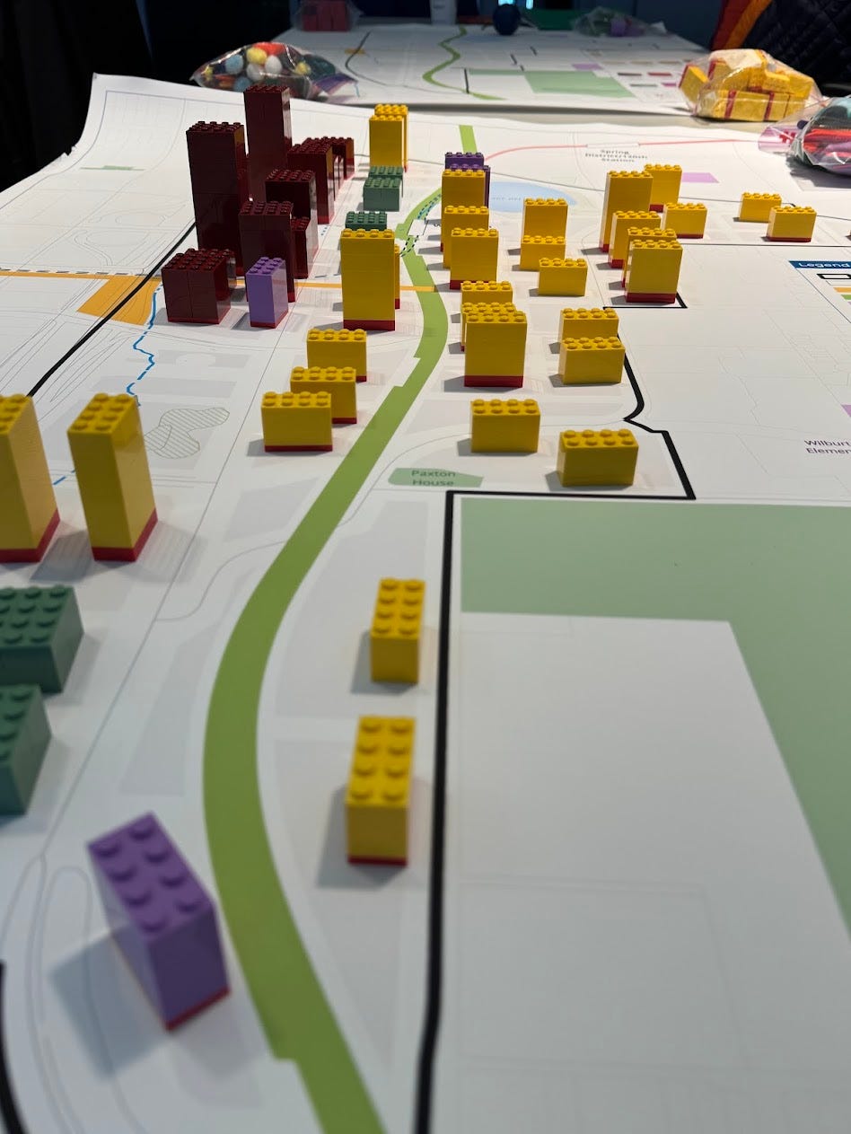
I also went to a session about how 4th-grade teachers worked with Bellevue City Planners to design a lesson for students to plan development for their school’s neighborhood. One activity involved huge maps of the area and Lego blocks representing all the homes, businesses, and apartments that would need to fit in the space. We worked in groups to plan out where the buildings would go and then had to explain our choices to the class. Fantastic activity.
Next, Tess had her session attendees use a ginormous world map to trace and cut out assigned regions. We wrote some social/cultural/political facts about each region on the map and then taped it over the top of the existing world map. Tess has her students do this for each time period so they can visualize how a region changes over time. She has her students draw a world map, but whenever I need a big world map (often), I print off the largest maps from this website. It prints off as 64 pages, so you have to puzzle it together first.
I also attended a session on the Vietnam War from CHOICES, which isn’t helpful to you newsletter readers because you’d have to buy the unit and I presented a session on pairing a RetroReport video about racial health disparities with the book THE IMMORTAL LIFE OF HENRIETTA LACKS. I’ll write about that lesson later, once RetroReport publishes it.
Happy teaching, traveling, and reading! See y’all next Sunday.
Affiliate book links in this newsletter are through Bookshop, a book-buying platform that gives independent bookstores tools to compete online and maintain their presence in local communities. If you purchase books via the links in this newsletter, you’ll are financially supporting me AND your local independent book store, so thank you!
In incredibly random (but related!) news, the smallest suspension bridge in the US is in Maine. Maybe the world, but the Internet is unclear on that. It's in York and is called the Wiggly Bridge and it is very cute and I like it a lot.